![]()
Welcome!
Plowshare Produce is a small, organic vegetable farm, a farming family, and a community of supporting members who share in the farm’s abundance.
We would love to have you join us!
Community Supported Agriculture
Why CSA?
Community Supported Agriculture (CSA) connects farmers and eaters in a mutually beneficial relationship. Shareholders pay in the spring, and receive a weekly selection of the harvest all season long. Some of the benefits include:
- We raise your vegetables with sustainability, health and flavor in mind – not just “shippability.”
- You’re always welcome to visit the farm to see your food from seed to harvest!
- Your weekly bag of produce – with over 40 kinds of vegetables throughout the season – encourages healthy cooking and eating.
- Picking up your share or coming to a Plowshare potluck are great opportunities to meet your neighbors.
- Your money stays in the local economy and benefits your community by sustaining a small, diversified family farm.
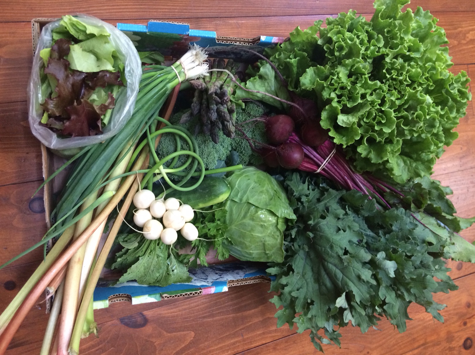
THE FARM SHARE
Come to the farm once a week – or to a central location in State College – to fill your bag with the best of the day’s harvest. Half shares offer the opportunity to pick up a share every other week.
THE FLEX SHARE
Contact us to receive the weekly newsletter, check out the week’s vegetable selections, and then contact us only when you’d like to receive a share – any week of the season. This pay-as-you-go option is available only for Friday pickup at the farm or in State College.
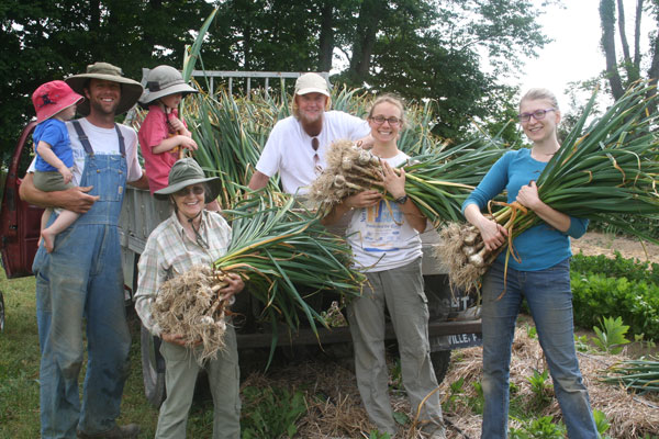
WORK SHARES
Trade your labor for vegetables! Join our harvest and weeding crew on Thursday morning and receive a full or half farm share in exchange. Read our work share guidelines.
ADD-ON SHARES
We partner with other small farms and businesses to offer shares of local eggs, flower bouquets and fair-trade coffee. Members can also order local meat and fruit in season.
PLOWSHARING FUND
We are committed to making our vegetables available to all, regardless of income. Contact us to apply for share assistance or, if you are able to give, we welcome your contributions to the Plowsharing Fund.
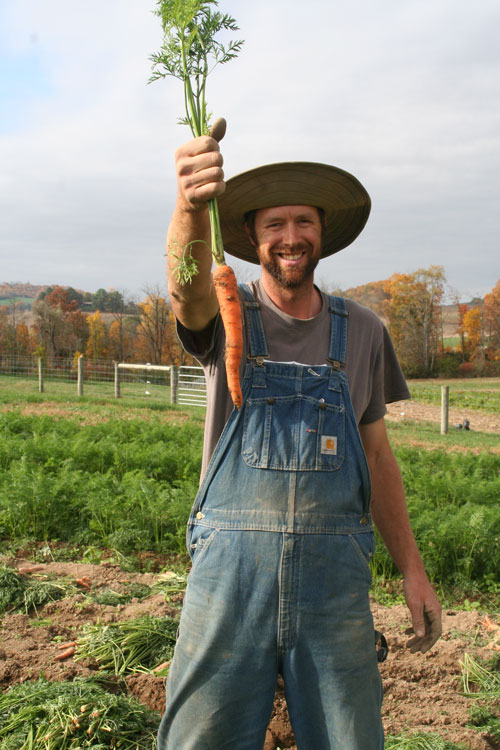
Our Farm
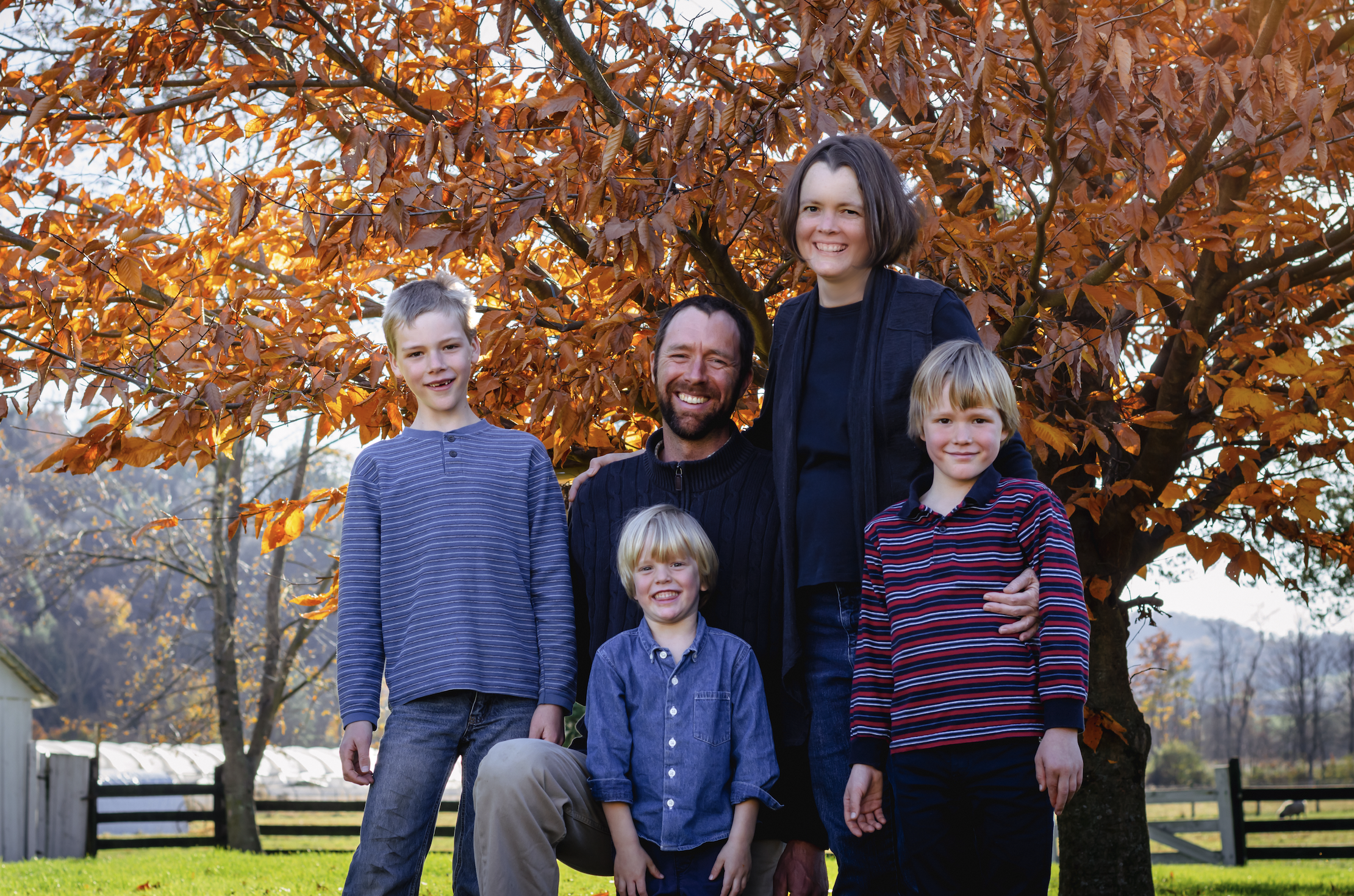
Plowshare Produce
We are Micah and Bethany Spicher Schonberg, stewards of Plowshare Produce, and we are grateful: To Bethany’s parents and their sheep for making room for vegetables, and to her great grandparents who farmed these fields with horses in the 1940’s. To Ben, Daniel and Timothy for bringing joy to the work. To the family, friends, neighbors, church and CSA members who surround us with love. To the original inhabitants of this land whose names echo through our watershed: Standing Stone, Juniata, Susquehanna and Chesapeake. To the natural world around us and to the Creator, who came up with photosynthesis and myccorhizal fungi. As we seek to honor all these seen and unseen relationships, may our labor further the prophet’s vision of transforming swords into plowshares.
Directions
In our rural area, internet-based maps sometimes send visitors astray. Here are directions:
From State College and the North:
Take Route 26 S about 15 miles south of State College to McAlevy’s Fort. The road curves right into town. Pass the Stone Valley Community Charter School on the left and look for the second place on the left after that. Pull into the parking lot of the brown house with a wagon wheel porch and red roof – just after the Plowshare Produce sign.
From Huntingdon and the South:
Take Route 26 N about 15 miles north of Huntingdon to the stop sign at Ennisville and turn right. Cross a small bridge and pass a farm with a white barn, gray house and a black board fence. Turn right into the parking lot of the brown house with a wagon wheel porch and red roof – you’ll see the Plowshare Produce sign just ahead.
From Belleville and the East:
Take Route 305 W across the mountain and past Greenwood Furnace State Park. At the stop sign in McAlevy’s Fort, turn left on Route 26 S/305 W. Pass the Stone Valley Community Charter School on the left and look for the second place on the left after that. Pull into the parking lot of the brown house with a wagon wheel porch and red roof – just after the Plowshare Produce sign.
Work Opportunities
EMPLOYMENT
We hire full- and part-time help during the growing season, from April through October. Read our employee guidelines.
WORK SHARES
Trade your labor for vegetables! Join our harvest and weeding crew on Thursday morning and receive a full or half farm share in exchange. Read our work share guidelines.
VOLUNTEER
We welcome volunteers to the farm every Thursday morning during the growing season. Please contact us a week ahead to schedule.